File:Provinces of Sicily map.png - Wikipedia
 Article Images

Original file (990 × 757 pixels, file size: 183 KB, MIME type: image/png)
File history
Click on a date/time to view the file as it appeared at that time.
| Date/Time | Thumbnail | Dimensions | User | Comment | |
|---|---|---|---|---|---|
| current | 13:16, 11 August 2013 | | 990 × 757 (183 KB) | Ras67 | cropped and optimized |
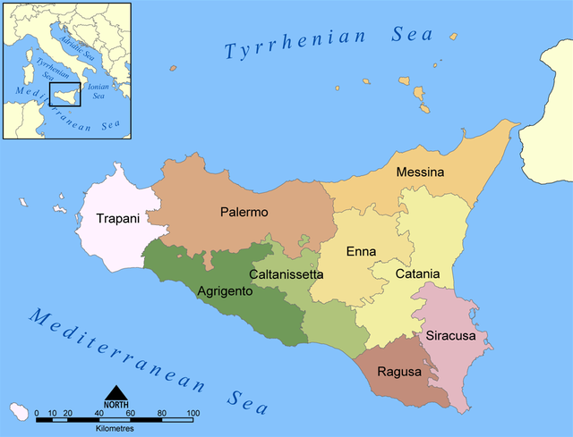
| 20:00, 19 August 2005 |  | 1,000 × 769 (251 KB) | NormanEinstein | This map shows the provinces of the Italian region of Sicily. Created by NormanEinstein, August 19, 2005. {{GFDL-self}} Category:Maps of Italy |
File usage
The following 5 pages use this file:
Global file usage
This file contains additional information, probably added from the digital camera or scanner used to create or digitize it.
If the file has been modified from its original state, some details may not fully reflect the modified file.
| Horizontal resolution | 59.06 dpc |
|---|---|
| Vertical resolution | 59.06 dpc |