File:USA Nevada location map.svg - Wikipedia
 Article Images

Original file (SVG file, nominally 882 × 1,297 pixels, file size: 76 KB)
File history
Click on a date/time to view the file as it appeared at that time.
| Date/Time | Thumbnail | Dimensions | User | Comment | |
|---|---|---|---|---|---|
| current | 09:33, 5 June 2014 | | 882 × 1,297 (76 KB) | NordNordWest | c |
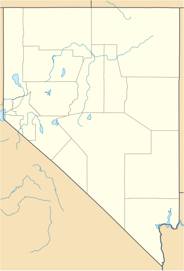
| 20:03, 5 June 2009 |  | 882 × 1,297 (121 KB) | NordNordWest | {{Information |Description= {{de|Positionskarte von Nevada, USA}} Quadratische Plattkarte, N-S-Streckung 125 %. Geographische Begrenzung der Karte: * N: 42.2° N * S: 34.9° N * W: 120.1° W * O: 113.9° W {{en|Location map of [ |
File usage
More than 100 pages use this file. The following list shows the first 100 pages that use this file only. A full list is available.
- Alamo, Nevada
- Amargosa Valley, Nevada
- Ash Springs, Nevada
- Austin, Nevada
- Bellagio (resort)
- Beowawe, Nevada
- Boardwalk Hotel and Casino
- Boulder City Hospital
- Bourbon Street Hotel and Casino
- Caliente, Nevada
- California Hotel and Casino
- Circus Circus Las Vegas
- Creech Air Force Base
- Derby Dam
- Downtown Las Vegas
- Duckwater, Nevada
- Dunes (hotel and casino)
- El Rancho Vegas
- Empire, Nevada
- Eureka, Nevada
- Excalibur Hotel and Casino
- Flamingo Las Vegas
- Fremont Hotel and Casino
- Gee Jon
- Genoa, Nevada
- Gerlach, Nevada
- Golden Gate Hotel and Casino
- Golden Nugget Las Vegas
- Goldfield, Nevada
- Guardian Angel Cathedral
- Hacienda (resort)
- Hamilton, Nevada
- Hard Rock Hotel and Casino (Las Vegas)
- Harrah's Las Vegas
- Hoover Dam
- Horseshoe Las Vegas
- Incline Village, Nevada
- Jackpot, Nevada
- Jarbidge, Nevada
- Jean, Nevada
- Lamoille, Nevada
- Las Vegas Nevada Temple
- Lida, Nevada
- List of Nevada state parks
- Logandale, Nevada
- Lovelock, Nevada
- Luxor Las Vegas
- MGM Grand Las Vegas
- Main Street Station Hotel and Casino and Brewery
- Mandalay Bay
- McDermitt, Nevada and Oregon
- Mercury, Nevada
- Mesquite, Nevada
- Mina, Nevada
- Mountain Springs, Nevada
- Nevada Northern Railway Museum
- Nevada System of Higher Education
- New Frontier Hotel and Casino
- New Washoe City, Nevada
- New York-New York Hotel and Casino
- Overton, Nevada
- Palisade, Nevada
- Panaca, Nevada
- Paradise Valley, Nevada
- Paris Las Vegas
- Park MGM
- Pioche, Nevada
- Planet Hollywood Las Vegas
- Rachel, Nevada
- Ragtown, Nevada
- Rhyolite, Nevada
- Riviera (hotel and casino)
- Sahara Las Vegas
- Saint Thomas Aquinas Cathedral
- Sands Hotel and Casino
- Sedan (nuclear test)
- Showboat Hotel and Casino
- Stardust Resort and Casino
- Steve Fossett
- Summerlin, Nevada
- Summerlin South, Nevada
- Sun Valley, Nevada
- Sunrise Manor, Nevada
- The Linq
- The Mint Las Vegas
- The Mirage
- The Palazzo
- The Venetian Las Vegas
- Tonopah, Nevada
- Treasure Island Hotel and Casino
- Tropicana Las Vegas
- University Medical Center of Southern Nevada
- University of Nevada, Reno
- Valley Hospital Medical Center
- Vegas World
- Virginia City, Nevada
- Welcome to Fabulous Las Vegas sign
- Wendy's 3-Tour Challenge
- West Wendover, Nevada
- Winnemucca, Nevada
View more links to this file.
Global file usage
This file contains additional information, probably added from the digital camera or scanner used to create or digitize it.
If the file has been modified from its original state, some details may not fully reflect the modified file.
| Width | 881.762px |
|---|---|
| Height | 1296.551px |