Queens County, New Brunswick
Contributors to Wikimedia projects
 Article Images
Queens County (French: Comté de Queens; 2016 population 10,472[1]) is located in central New Brunswick, Canada. The county shire town is the village of Gagetown. The county was named as an expression of loyalty to the Crown and to commemorate a group of earlier settlers originally from Queens County, New York.[2][3]
Queens | |
|---|---|
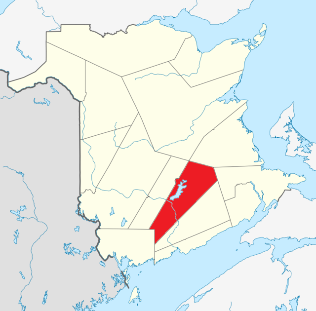
 Location within New Brunswick. | |
| Country | Canada |
| Province | New Brunswick |
| Established | 1785 |
| Shire town | Gagetown |
| Area | |
| • Land | 3,686.05 km2 (1,423.19 sq mi) |
| Population (2016)[1] | |
| • Total | 10,472 |
| • Density | 2.8/km2 (7/sq mi) |
| • Change 2011–2016 | |
| • Dwellings | 7,289 |
| Time zone | UTC−4 (AST) |
| • Summer (DST) | UTC−3 (ADT) |
| Area code | 506 |
The county's geography is dominated by the Saint John River and Grand Lake. Coal mining is a major industry in the Minto area. Forestry and mixed farming dominate the rest of the county. The CFB Gagetown military training area takes in a large portion of the western part of the county.
There are four municipalities within Queens County (listed by 2016 population):[4]
| Official Name | Designation | Area km2 | Population | Parish |
|---|---|---|---|---|
| Minto | Village | 31.68 | 2,305 | Canning |
| Chipman | Village | 19.02 | 1,104 | Chipman |
| Gagetown | Village | 49.47 | 711 | Gagetown |
| Cambridge-Narrows | Village | 107.19 | 562 | Cambridge |
- Part of Minto lies within Sunbury County, but since most of it is in Queens County, Statistics Canada considers it as part of Queens.
The county is subdivided into ten parishes (listed by 2016 population):[4]
| Year | Pop. | ±% |
|---|---|---|
| 1991 | 12,519 | — |
| 1996 | 12,470 | −0.4% |
| 2001 | 11,862 | −4.9% |
| 2006 | 11,708 | −1.3% |
| 2011 | 11,086 | −5.3% |
| 2016 | 10,472 | −5.5% |
| [5][6][1] | ||
As a census division in the 2021 Census of Population conducted by Statistics Canada, Queens County had a population of 10,998 living in 5,133 of its 6,854 total private dwellings, a change of 5% from its 2016 population of 10,472. With a land area of 3,681.05 km2 (1,421.26 sq mi), it had a population density of 3.0/km2 (7.7/sq mi) in 2021.[7]
Canada census – Queens community profile
| 2021 | 2016 | 2011 | |
|---|---|---|---|
| Population | 10,998 (+5.0% from 2016) | 10,472 (−5.5% from 2011) | 11,086 (−5.3% from 2006) |
| Land area | 3,681.05 km2 (1,421.26 sq mi) | 3,686.05 km2 (1,423.19 sq mi) | 3,681.98 km2 (1,421.62 sq mi) |
| Population density | 3/km2 (7.8/sq mi) | 2.8/km2 (7.3/sq mi) | 3.0/km2 (7.8/sq mi) |
| Median age | 56.4 (M: 56, F: 56.8) | 54.4 (M: 54.2, F: 54.6) | 51.3 (M: 51.0, F: 51.7) |
| Private dwellings | 5,135 (total) | 7,289 (total) | 7,337 (total) |
| Median household income | $48,539 | $45,555 |
| Canada Census Mother Tongue - Queens County, New Brunswick[5][6][1] | ||||||||||||||||||
|---|---|---|---|---|---|---|---|---|---|---|---|---|---|---|---|---|---|---|
| Census | Total | English |
French |
English & French |
Other | |||||||||||||
| Year | Responses | Count | Trend | Pop % | Count | Trend | Pop % | Count | Trend | Pop % | Count | Trend | Pop % | |||||
2016 |
10,290 |
9,655 | 5.3% | 93.83% | 445 | 11.0% | 4.32% | 40 | 0.39% | 150 | 15.4% | 1.46% | ||||||
2011 |
10,865 |
10,195 | 2.9% | 93.83% | 500 | 18.0% | 4.60% | 40 | 27.3% | 0.37% | 130 | 56.7% | 1.20% | |||||
2006 |
11,460 |
10,495 | 3.4% | 91.58% | 610 | 17.3% | 5.32% | 55 | 37.5% | 0.48% | 300 | 46.3% | 2.62% | |||||
2001 |
11,635 |
10,870 | 4.7% | 93.43% | 520 | 23.0% | 4.47% | 40 | 0.0% | 0.34% | 205 | 57.7% | 1.76% | |||||
1996 |
12,255 |
11,410 | n/a | 93.10% | 675 | n/a | 5.51% | 40 | n/a | 0.37% | 130 | n/a | 1.01% | |||||
Protected areas and attractions
- ^ a b c d e "Census Profile, 2016 Census Queens, County [Census division], New Brunswick". Statistics Canada. Retrieved September 26, 2019.
- ^ "Queens County", Place Names of New Brunswick: Where is Home? New Brunswick Communities Past and Present, Provincial Archives of New Brunswick, retrieved August 13, 2023
- ^ Brown, Thomas J. (1922), Nova Scotia Place Names (PDF), p. 122, retrieved August 13, 2023
- ^ a b c "2016 Community Profiles". 2016 Canadian census. Statistics Canada. August 12, 2021. Retrieved September 26, 2019.
- ^ a b Statistics Canada: 1996, 2001, 2006, 2011 census
- ^ a b 2011 Statistics Canada Census Profile: Queens County, New Brunswick
- ^ "Population and dwelling counts: Canada and census divisions". Statistics Canada. February 9, 2022. Retrieved April 3, 2022.
- ^ "2021 Community Profiles". 2021 Canadian census. Statistics Canada. February 4, 2022. Retrieved April 27, 2022.
- ^ "2011 Community Profiles". 2011 Canadian census. Statistics Canada. March 21, 2019. Retrieved May 2, 2014.
- ^ "2006 Community Profiles". 2006 Canadian census. Statistics Canada. August 20, 2019.
- ^ "2001 Community Profiles". 2001 Canadian census. Statistics Canada. July 18, 2021.