 Article Images

Original file (352 × 618 pixels, file size: 37 KB, MIME type: image/png)
File history
Click on a date/time to view the file as it appeared at that time.
| Date/Time | Thumbnail | Dimensions | User | Comment | |
|---|---|---|---|---|---|
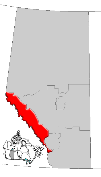
| current | 16:29, 4 January 2007 | | 352 × 618 (37 KB) | Qyd | {{Information |Description=Map of Rockies Region, Alberta, Canada |Source=GIS data |Date=Jan 2006 |Author={{User|Qyd}} |Permission=All |other_versions= }} Category:Maps of Alberta |
File usage
More than 100 pages use this file. The following list shows the first 100 pages that use this file only. A full list is available.
View more links to this file.
Global file usage
The following other wikis use this file:
- Usage on de.wikipedia.org
- Usage on es.wikipedia.org
- Usage on pt.wikipedia.org
- Usage on www.wikidata.org