File:Durham UK location map.svg - Wikipedia
 Article Images

Original file (SVG file, nominally 1,425 × 934 pixels, file size: 1.39 MB)
File history
Click on a date/time to view the file as it appeared at that time.
| Date/Time | Thumbnail | Dimensions | User | Comment | |
|---|---|---|---|---|---|
| current | 19:04, 26 September 2010 | | 1,425 × 934 (1.39 MB) | Nilfanion | fixing dodgy layer |
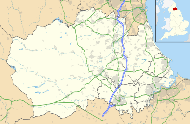
| 18:43, 26 September 2010 |  | 1,425 × 934 (1.39 MB) | Nilfanion | {{Information |Description=Map of County Durham, UK with the following information shown: *Administrative borders *Coastline, lakes and rivers *Roads and railways *Urban areas Equirectangular map projection on WGS 84 datum, with N/S s |
File usage
More than 100 pages use this file. The following list shows the first 100 pages that use this file only. A full list is available.
- Aislaby, County Durham
- Allensford
- Annfield Plain
- Archdeacon Newton
- Auckland Castle
- Aukside
- Aycliffe Village
- Barmpton
- Barnard Castle
- Barningham, County Durham
- Beamish Museum
- Bearpark
- Bedburn
- Belmont, County Durham
- Benfieldside
- Billingham
- Billy Row
- Binchester
- Bishop Auckland
- Bishopsgarth
- Bishopton, County Durham
- Blackhall Colliery
- Blackhall Rocks
- Blackwell, County Durham
- Boldron
- Bournmoor
- Bowbank
- Bowburn
- Bowes
- Brafferton, County Durham
- Brandon, County Durham
- Bridge End, County Durham
- Brierton
- Brignall
- Burnhope
- Butterknowle
- Cassop
- Catchgate
- Chester-le-Street
- Cleatlam
- Consett
- Cotherstone
- Craghead
- Crook, County Durham
- Darlington
- Durham, England
- Eaglescliffe
- Easington, County Durham
- East Kyo
- Ferryhill
- Gainford, County Durham
- Gilmonby
- Grassholme
- Greta Bridge
- Hartlepool
- Holwick
- Hury
- Hutton Magna
- Lambton Castle
- Lanehead
- Lartington
- List of places in County Durham
- Lumley Castle
- Mickleton, County Durham
- Middridge
- Newton Aycliffe
- No Place
- Norton, County Durham
- Ovington, County Durham
- Oxhill, County Durham
- Peterlee
- Pity Me
- Preston-on-Tees
- Preston Hall, Preston-on-Tees
- Preston Park, Stockton-on-Tees
- Quaking Houses
- Quebec, County Durham
- Romaldkirk
- Sacriston
- Satley
- Scargill, County Durham
- Seaham
- Sedgefield
- Shotley Bridge
- South Moor
- Spennymoor
- Staindrop
- Stanley, County Durham
- Startforth
- Stockton-on-Tees
- Tanfield, County Durham
- Tanfield Lea
- Teesside International Airport
- Thorpe Larches
- Tudhoe
- Ushaw College
- West Hartlepool
- White-le-Head
- Whitworth, County Durham
- Willington, County Durham
View more links to this file.
Global file usage
This file contains additional information, probably added from the digital camera or scanner used to create or digitize it.
If the file has been modified from its original state, some details may not fully reflect the modified file.
| Width | 1425 |
|---|---|
| Height | 934 |