 Article Images

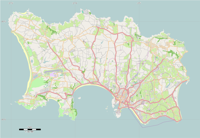
Original file (SVG file, nominally 1,114 × 769 pixels, file size: 1.46 MB)
File history
Click on a date/time to view the file as it appeared at that time.
| Date/Time | Thumbnail | Dimensions | User | Comment | |
|---|---|---|---|---|---|
| current | 10:31, 20 December 2014 | | 1,114 × 769 (1.46 MB) | Philg88 | {{Information |Description ={{en|1=Location map of Jersey, Channel Islands, UK}} |Source ={{own}} |Author =Philg88; Attribution: Wikimedia Foundation (www.wikimedia.org) |Date =2014-12-20 |Permission =... |
File usage
The following 19 pages use this file:
Global file usage
This file contains additional information, probably added from the digital camera or scanner used to create or digitize it.
If the file has been modified from its original state, some details may not fully reflect the modified file.
| Width | 1114px |
|---|---|
| Height | 768.5px |