 Article Images

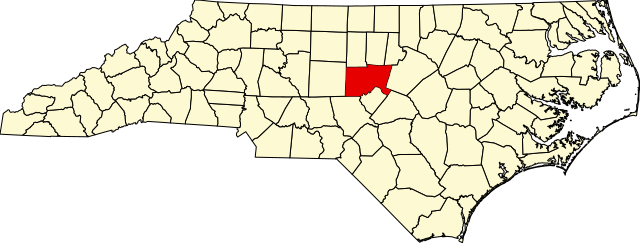
Original file (SVG file, nominally 2,687 × 1,019 pixels, file size: 157 KB)
File history
Click on a date/time to view the file as it appeared at that time.
| Date/Time | Thumbnail | Dimensions | User | Comment | |
|---|---|---|---|---|---|
| current | 02:55, 25 June 2024 | 2,687 × 1,019 (157 KB) | Nux | fix rendering (remove clipping) | |
| 15:38, 12 February 2006 | 8,061 × 3,056 (236 KB) | David Benbennick | {{subst:User:Dbenbenn/clm|county=Chatham County|state=North Carolina|type=county}} |
File usage
The following 10 pages use this file:
- Baldwin Township, Chatham County, North Carolina
- Bear Creek Township, Chatham County, North Carolina
- Cape Fear Township, Chatham County, North Carolina
- Center Township, Chatham County, North Carolina
- Chatham County, North Carolina
- Gulf Township, Chatham County, North Carolina
- List of census-designated places in North Carolina
- List of counties in North Carolina
- File talk:Map of North Carolina highlighting Chatham County.svg
- Category:Wikipedia requested photographs in Chatham County, North Carolina
Global file usage
The following other wikis use this file:
- Usage on af.wikipedia.org
- Usage on ar.wikipedia.org
- Usage on bar.wikipedia.org
- Usage on bg.wikipedia.org
- Usage on bpy.wikipedia.org
- Usage on ca.wikipedia.org
- Usage on cdo.wikipedia.org
- Usage on ceb.wikipedia.org
- Usage on ce.wikipedia.org
- Usage on cy.wikipedia.org
- Usage on de.wikipedia.org
- Usage on eo.wikipedia.org
- Usage on es.wikipedia.org
- Usage on et.wikipedia.org
- Usage on eu.wikipedia.org
- Usage on fa.wikipedia.org
- Usage on ga.wikipedia.org
- Usage on glk.wikipedia.org
- Usage on hu.wikipedia.org
- Usage on it.wikipedia.org
- Usage on ja.wikipedia.org
- Usage on ko.wikipedia.org
- Usage on mzn.wikipedia.org
- Usage on nds.wikipedia.org
- Usage on nl.wikipedia.org
- Usage on no.wikipedia.org
- Usage on pl.wikipedia.org
- Usage on pnb.wikipedia.org
- Usage on pt.wikipedia.org
- Usage on ro.wikipedia.org
- Usage on ru.wikipedia.org
- Usage on sh.wikipedia.org
- Usage on simple.wikipedia.org
- Usage on sr.wikipedia.org
View more global usage of this file.
This file contains additional information, probably added from the digital camera or scanner used to create or digitize it.
If the file has been modified from its original state, some details may not fully reflect the modified file.
| Width | 2686.93 |
|---|---|
| Height | 1018.57 |