 Article Images

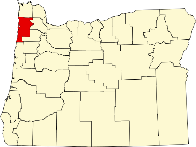
Original file (SVG file, nominally 1,433 × 1,069 pixels, file size: 104 KB)
File history
Click on a date/time to view the file as it appeared at that time.
| Date/Time | Thumbnail | Dimensions | User | Comment | |
|---|---|---|---|---|---|
| current | 22:27, 24 June 2024 | | 1,433 × 1,069 (104 KB) | Nux | fix rendering (remove clipping) |
| 16:19, 12 February 2006 |  | 6,451 × 4,810 (136 KB) | David Benbennick | {{subst:User:Dbenbenn/clm|county=Tillamook County|state=Oregon|type=county}} |
File usage
The following 47 pages use this file:
- Barnesdale, Oregon
- Barview, Tillamook County, Oregon
- Bay City, Oregon
- Bayside Gardens, Oregon
- Beaver, Oregon
- Brighton, Oregon
- Cape Meares, Oregon
- Cloverdale, Oregon
- Dolph, Oregon
- Fairview, Tillamook County, Oregon
- Foss, Oregon
- Garibaldi, Oregon
- Hebo, Oregon
- Hemlock, Tillamook County, Oregon
- Hobsonville, Oregon
- Idaville, Oregon
- Idiotville, Oregon
- Jordan Creek, Oregon
- Lees Camp, Oregon
- List of counties in Oregon
- Manhattan Beach, Oregon
- Manzanita, Oregon
- Meda, Oregon
- Mohler, Oregon
- National Register of Historic Places listings in Tillamook County, Oregon
- Neahkahnie Beach, Oregon
- Nedonna Beach, Oregon
- Nehalem, Oregon
- Neskowin, Oregon
- Netarts, Oregon
- Oceanside, Oregon
- Oretown, Oregon
- Pacific City, Oregon
- Rockaway Beach, Oregon
- Sandlake, Oregon
- Tillamook, Oregon
- Tillamook County, Oregon
- Twin Rocks, Oregon
- Watseco, Oregon
- Wheeler, Tillamook County, Oregon
- Woods, Oregon
- User:AridCeption/sandbox
- User:Nyttend/County templates/OR
- Wikipedia talk:WikiProject Geography/Archive 3
- File talk:Map of Oregon highlighting Tillamook County.svg
- Template:Tillamook County, Oregon
- Category:Populated places in Tillamook County, Oregon
Global file usage
This file contains additional information, probably added from the digital camera or scanner used to create or digitize it.
If the file has been modified from its original state, some details may not fully reflect the modified file.
| Width | 1433.44 |
|---|---|
| Height | 1068.98 |