File:PK Thatta asv2020-02 img15 Makli Necropolis.jpg - Wikipedia
 Article Images

Original file (7,562 × 4,254 pixels, file size: 12.68 MB, MIME type: image/jpeg)
File history
Click on a date/time to view the file as it appeared at that time.
| Date/Time | Thumbnail | Dimensions | User | Comment | |
|---|---|---|---|---|---|
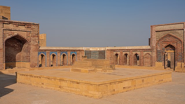
| current | 03:01, 6 October 2020 | | 7,562 × 4,254 (12.68 MB) | A.Savin | {{User:A.Savin/F|L=0 |Description= {{en|Makli Necropolis in Thatta (Sindh, Pakistan): tomb of Mirza Baqi Baig Uzbak}} {{ru|Некрополь на холме Макли в городе Татта (Синд, Пакистан)}} |Year=2020 |Country=Pakistan |Month=02 |Day=06}} {{Location|24|45|11.4|N|67|53|59.4|E|region:PK-SD}} Category:Taken with Sony ILCE-7RM3 Category:Taken with Sony FE 24-105mm F4 G OSS Category:Brick enclosure of Mirza Baqi Baig Uzbak's tomb |
File usage
The following 3 pages use this file:
Global file usage
The following other wikis use this file:
- Usage on ha.wikipedia.org
- Usage on it.wikipedia.org
- Usage on ru.wikipedia.org
- Usage on sd.wikipedia.org
- Usage on tr.wikipedia.org
This file contains additional information, probably added from the digital camera or scanner used to create or digitize it.
If the file has been modified from its original state, some details may not fully reflect the modified file.
| Camera manufacturer | SONY |
|---|---|
| Camera model | ILCE-7RM3 |
| Author | A.Savin |
| Copyright holder |
|
| Exposure time | 1/200 sec (0.005) |
| F-number | f/9 |
| ISO speed rating | 50 |
| Date and time of data generation | 15:52, 6 February 2020 |
| Lens focal length | 38 mm |
| Latitude | 24° 45′ 11.38″ N |
| Longitude | 67° 53′ 59.43″ E |
| Width | 7,952 px |
| Height | 5,304 px |
| Bits per component |
|
| Pixel composition | RGB |
| Orientation | Normal |
| Number of components | 3 |
| Horizontal resolution | 300 dpi |
| Vertical resolution | 300 dpi |
| Software used | Adobe Photoshop CC 2019 (Windows) |
| File change date and time | 02:45, 2 October 2020 |
| Exposure Program | Manual |
| Exif version | 2.31 |
| Date and time of digitizing | 15:52, 6 February 2020 |
| Shutter speed | 7.643856 |
| APEX aperture | 6.33985 |
| APEX brightness | 10.75546875 |
| Exposure bias | 0 |
| Maximum land aperture | 4 APEX (f/4) |
| Metering mode | Pattern |
| Light source | Unknown |
| Flash | Flash did not fire, compulsory flash suppression |
| Color space | sRGB |
| Focal plane X resolution | 2,164.432800293 |
| Focal plane Y resolution | 2,164.432800293 |
| Focal plane resolution unit | 3 |
| File source | Digital still camera |
| Scene type | A directly photographed image |
| Custom image processing | Normal process |
| Exposure mode | Manual exposure |
| White balance | Auto white balance |
| Digital zoom ratio | 1 |
| Focal length in 35 mm film | 38 mm |
| Scene capture type | Standard |
| Contrast | Normal |
| Saturation | Normal |
| Sharpness | Normal |
| GPS time (atomic clock) | 10:52 |
| Receiver status | Measurement in progress |
| Measurement mode | 2-dimensional measurement |
| Geodetic survey data used | WGS-84 |
| GPS date | 6 February 2020 |
| GPS differential correction | 0 |
| GPS tag version | 0.0.3.2 |
| Lens used | FE 24-105mm F4 G OSS |
| Date metadata was last modified | 04:45, 2 October 2020 |
| Unique ID of original document | 8A0124A19C8880460D8F68F0652B9F1A |
| IIM version | 4 |