Gurage Zone
Contributors to Wikimedia projects
 Article Images
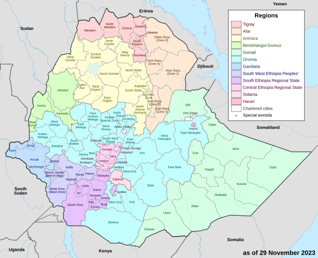
Gurage is a zone in the Central Ethiopia Regional State of Ethiopia. The region is home to the Gurage people. Gurage is bordered on the southeast by Hadiya and Yem Zone, on the northwest by, north and east by the Oromia Region, and on the southeast by Silt'e. Its highest point is Mount Gurage. Welkite is the largest city and administrative centre of the zone.

During the 1930s, about 20% of the land in Gurage was covered with natural One of the largest natural forests is Ziarem forest (also known as Forehina), about 800 hectares in size. On the other hand, beginning in the early 1960s the inhabitants started to grow eucalyptus on an increasing scale, which has increased the amount of land being covered with trees.[1] This region has 783 kilometers of all-weather roads and 281 kilometers of dry-weather roads, for an average road density of 182 kilometers per 1000 square kilometers.[2]
The Central Statistical Agency (CSA) reported that 7,624 tons of coffee were produced in Gurage, Hadiya and Kembata Tembaro combined in the year ending in 2005, based on inspection records from the Ethiopian Coffee and Tea authority. This represented 7.6% of the Southern Nations, Nationalities and Peoples' Region (SNNPR)'s output and 3.36% of Ethiopia's total output.Cite error: A <ref> tag is missing the closing </ref> (see the help page). The six largest ethnic groups reported in Gurage Zone were the Gurage people (82%), the Mareqo or Libido (4.28%), the Amhara (3.36%), the Kebena (3.34%), the Silt'e people (2.71%), and the Oromo (1.69%); all other ethnic groups made up 2.62% of the population. Gurage languages are spoken as a first language by 80.54% of the population, 5.28% spoke Amharic, 4.09% spoke Libido, 3.2% spoke Kebena, 2.98% spoke Silt'e, and 1.06% spoke Oromo; the remaining 2.85% spoke all other primary languages reported. The majority of the inhabitants were reported as Muslim, with 51.91% of the population reporting that belief, while 41.02% practised Ethiopian Orthodox Christianity, 5.79% were Protestants, and 1.12% Catholic.[3]
According to the 1994 census, the six largest ethnic groups reported in Gurage Zone were the Sebat Bet Gurage (45.02%), the Silt'e (34.81%), the Soddo Gurage (9.75%), the Mareqo or Libido (2.21%), the Amhara (2.16%), and the Kebena (1.82%); all other ethnic groups made up 4.21% of the population. Sebat Bet Gurage is spoken as a first language by 39.93%, 35.04% Silt'e, 10.06% spoke Soddo Gurage, 3.93% spoke Amharic, 2.16% spoke Libido, and 1.93% spoke Kebena; the remaining 6.95% spoke all other primary languages reported. The majority of the inhabitants were reported as Muslim, with 62.97% of the population reporting that belief, while 33.98% practised Ethiopian Orthodox Christianity, 1.9% were Protestants, and 0.95% Catholic.[4]
According to a May 24, 2004 World Bank memorandum, 3% of the inhabitants of Gurage have access to electricity, this zone has a road density of 95.4 kilometers per 1000 square kilometers, the average rural household has 0.5 hectare of land (compared to the national average of 1.01 hectare of land and an average of 0.89 for the SNNPR)[5] the equivalent of 0.2 heads of livestock. 18.9% of the population is in non-farm related jobs, compared to the national average of 25% and a Regional average of 32%. 79% of all eligible children are enrolled in primary school, and 12% in secondary schools. 18% of the zone is exposed to malaria, and 38% to Tsetse fly. The memorandum gave this zone a drought risk rating of 319.[6]
- ^ "Ethiopian Village Studies: Indibir or Endibr" Archived 2009-12-16 at the Wayback Machine, Centre for the Study of African Economies (accessed 5 July 2009)
- ^ "Detailed statistics on roads" Archived 2011-07-20 at the Wayback Machine, SNNPR Bureau of Finance and Economic Development website (accessed 3 September 2009)
- ^ Census 2007 Tables: Southern Nations, Nationalities, and Peoples' Region Archived 2012-11-13 at the Wayback Machine, Tables 2.1, 2.4, 2.5, 3.1, 3.2 and 3.4.
- ^ 1994 Population and Housing Census of Ethiopia: Results for Southern Nations, Nationalities, and Peoples' Region, Vol. 1, part 1 Archived 2008-11-19 at the Wayback Machine, Tables 2.1, 2.11, 2.14, 2.17 (accessed 30 December 2008).
- ^ Comparative national and regional figures comes from the World Bank publication, Klaus Deininger et al. "Tenure Security and Land Related Investment", WP-2991 Archived 2007-03-10 at the Wayback Machine (accessed 23 March 2006)
- ^ World Bank, Four Ethiopias: A Regional Characterization (accessed 23 March 2006).