Hoima District
Contributors to Wikimedia projects
 Article Images
For Hoima Town, see Hoima.
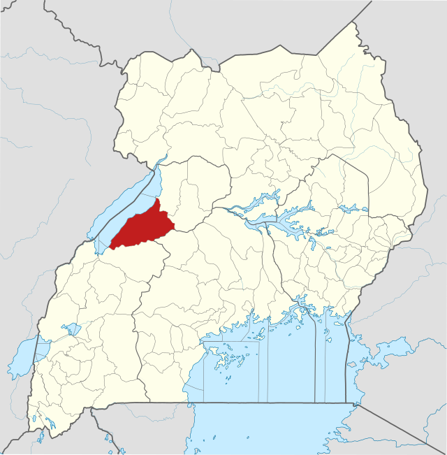
Hoima District is a district in Western Uganda. Like most other Ugandan districts, it is named after its main municipal centre, Hoima.
Hoima District | |
|---|---|
 District location in Uganda | |
| Coordinates: 01°25′N 31°05′E / 1.417°N 31.083°E | |
| Country | |
| Region | Western Uganda |
| Sub-region | Bunyoro sub-region |
| Capital | Hoima |
| Area | |
| • Land | 3,664.1 km2 (1,414.7 sq mi) |
| Population (2012 Estimate) | |
| • Total | 548,800 |
| • Density | 149.8/km2 (388/sq mi) |
| Time zone | UTC+3 (EAT) |
| Website | www |


Hoima District is bordered by Buliisa District to the north, Masindi District to the northeast, Kyankwanzi District in the east, Kibaale District to the south, Ntoroko District to the southwest and the Democratic Republic of the Congo across Lake Albert to the west. Hoima, the location of the district headquarters, is located approximately 230 kilometres (140 mi) northwest of Kampala, Uganda's capital and largest city.[1] The coordinates of the district are:01 24N, 31 18E.
Hoima District, Buliisa District, Kibaale District, Kiryandongo District, Kakumiro District, Kagadi District and Masindi District, constitute Bunyoro sub-region, which is coterminous with the Kingdom of Bunyoro. The palace of the Omukama of Bunyoro is located in Hoima.
During the 1991 national population census, the population of Hoima District was about 197,850. In 2002, the national census that year, estimated the population of the district at bout 343,620, with an annual population growth rate of 2.8%. In 2012, the mid-year district population was estimated at 548,800.[2]
|
|
|
Agriculture with emphasis on food crops is the backbone of the district economy. Crops grown include:
Fishing on Lake Albert employs several hundred people.
The recent discovery of petroleum in the district is increasingly attracting people from the district in the many activities that the industry entails.[3] The Hoima crude oil pipeline project [4] has created over 10,000 job opportunities[5] to people.[6]
- ^ "Approximate Road Distance Between Kampala And Hoima With Map". Globefeed.com. Retrieved 8 May 2014.
- ^ "Estimated Population of Hoima District In 1991, 2002 & 2012". Citypopulation.de. Retrieved 8 May 2014.
- ^ "Economic Activity In Hoima District". Uganda Travel Guide. Archived from the original on 24 July 2020. Retrieved 8 May 2014.
- ^ "The East African Crude Oil Pipeline (EACOP) Project – Petroleum Authority of Uganda (PAU)". Retrieved 2022-03-17.
- ^ "Industry Jobs – Petroleum Authority of Uganda (PAU)". Retrieved 2022-03-17.
- ^ "Hoima crude oil pipeline project creates 10,000 jobs". New Vision. Retrieved 2022-03-17.
- Hoima District Homepage
- About Hoima District Archived 2020-07-24 at the Wayback Machine