Cedar River (Iowa River tributary): Difference between revisions - Wikipedia
 Article Images
Line 1:
{{short description|338-mile-long (544 km) river in Minnesota and Iowa}}
{{Infobox river
| name = Cedar RiversRiver
| name_native =
| name_native_lang =
Line 47:
| source1 =
| source1_location = [[Sargeant, Minnesota]]
| source1_coordinates= {{Coord|43.8346852|-92.8076868|display=inline|format=dms}}
| source1_elevation =
| mouth = [[Iowa River]]
| mouth_location = [[Columbus Junction, Iowa]]
| mouth_coordinates = {{coord|41|16|59|N|91|20|49|W|display=it}}
| mouth_elevation =
| progression =
| river_system = [[Mississippi River]]
| basin_size =
| basin_landmarks =
Line 69:
}}
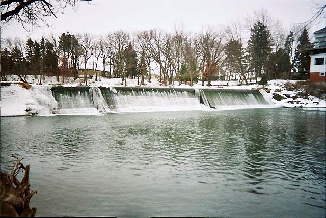
The '''Cedar River''' is a {{convert|338|mi|km|adj=mid|-long}}<ref name=NHD>U.S. Geological Survey. National Hydrography Dataset high-resolution flowline data. [http://viewer.nationalmap.gov/viewer/ The National Map] {{webarchive |url=https://wwwweb.webcitationarchive.org/66gupqQDM?url=web/20120329155652/http://viewer.nationalmap.gov/viewer/ |date=2012-0403-0529 }}, accessed May 13, 2011</ref> [[river]] in [[Minnesota]] and [[Iowa]]. It is a tributary of the [[Iowa River]], which flows to the [[Mississippi River]]. The Cedar River takes its name from the [[Juniperus virginiana|red cedar]] (''Juniperus virginiana'') trees growing there, and was originally called the '''Red Cedar River''' by the [[Sac and Fox|Meskwaki]].<ref>John C. Hartman, ed., Section Red Cedar River, Chapter XIV, Waterways and Bridges, [https://books.google.com/books?id=YZoUAAAAYAAJ&pg=PA376 History of Black Hawk County Iowa and its People], S.J. Clarke, Chicago, 1915; pages 376-378.</ref> The first Mississippi [[Steamboat#United States steamboats|steamboat]] reached [[Cedar Rapids, Iowa]] in 1844, and during the next decade, the '''Red Cedar''' (as it was still called) was an important commercial waterway.<ref>Luther A. Brewer and Barthinius L. Wick, eds., Section Early Steamboating on the Cedar, Chapter XL, The Bridges across the Cedar at Cedar Rapids and Early Steamboating on the Cedar River, [https://books.google.com/books?id=SYEUAAAAYAAJ&pg=PA423 History of Linn County Iowa], Pioneer, Chicago, 1911; pages 423-434.</ref> The surrounding region is known officially as the '''Cedar River Valley''', though it is more commonly referred to simply as the '''Cedar Valley'''. The stream is young geologically, and only in places where the glacial material has been removed is the underlying bedrock exposed.<ref name=GNIS />
==Geography==
Line 88:
===2008===
{{see also|Iowa flood of 2008}}
In 2008, flooding of the river caused the evacuation of around 20,000 of Cedar Rapids' residents and flooded over 1,200 blocks of the city.<ref>"Mandatory evacuations in Cedar Rapids flood", [http://www.chicagotribune.com/news/nationworld/chi-cedar-rapids-iowa-evacuation-flood-080612-ht,0,4587441.story ''Chicago Tribune'', June 12, 2008]</ref> Upriver, the [[Waterloo/ – Cedar Falls metropolitan area|Waterloo-Cedar Falls metropolitan area]] was less affected, thanks mainly to the large dikes that protect the downtowns of both cities. To the north, the flooding Cedar River collapsed Charles City's landmark suspension bridge, as well as destroying many homes and community parks.{{CN|date=December 2022}}
===2013===
Line 109:
{{authority control}}
[[Category:Cedar River (Iowa River tributary)|*]]
[[Category:Rivers of Iowa]]
[[Category:Rivers of Minnesota]]
Line 119 ⟶ 120:
[[Category:Rivers of Black Hawk County, Iowa]]
[[Category:Geography of Cedar Rapids, Iowa]]
[[Category:Tributaries of the Mississippi River watershed]]
[[Category:Iowa River]]