Content deleted Content added
m |
|||
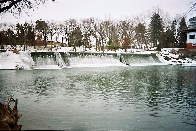
Line 1: [[Image:Iowarivermap.png|right|200px|thumb|Map showing the Cedar (to the right) and Iowa (to the left) rivers.]] The '''Cedar River''' is a {{convert|338|mi|km|adj=mid|-long}}<ref name=NHD>U.S. Geological Survey. National Hydrography Dataset high-resolution flowline data. [http://viewer.nationalmap.gov/viewer/ The National Map], accessed May 13, 2011</ref> [[river]] in [[Minnesota]] and [[Iowa]]. It is a tributary of the [[Iowa River]], which flows to the [[Mississippi River]]. The Cedar River takes its name from the [[Juniperus virginiana|red cedar]] (''Juniperus virginiana'') trees growing there, and was originally called the '''Red Cedar River''' by the [[Sac and Fox|Meskwaki]].<ref>John C. Hartman, ed., Section Red Cedar River, Chapter XIV, Waterways and Bridges, [http://books.google.com/books?id=YZoUAAAAYAAJ&pg=PA376 History of Black Hawk County Iowa and its People], S.J. Clarke, Chicago, 1915; pages 376-378.</ref> The first Mississippi [[Steamboat#United States steamboats|steamboat]] reached [[Cedar Rapids, Iowa]] in 1844, and during the next decade, the '''Red Cedar''' (as it was still called) was an important commercial waterway.<ref>Luther A. Brewer and Barthinius L. Wick, eds., Section Early Steamboating on the Cedar, Chapter XL, The Bridges across the Cedar at Cedar Rapids and Early Steamboating on the Cedar River, [[http://books.google.com/books?id=SYEUAAAAYAAJ&pg=PA423 History of Linn County Iowa]], Pioneer, Chicago, 1911; pages 423-434.</ref> The surrounding region is known officially as the '''Cedar River Valley''', though it is more commonly referred to simply as the '''Cedar Valley'''. ==Geography== | |||
 Article Images