Childwall: Difference between revisions - Wikipedia
 Article Images
Content deleted Content added
m |
|||
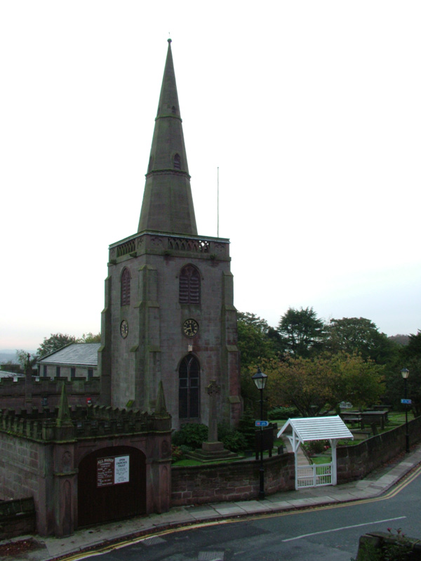
Line 18: | static_image_caption = [[All Saints' Church, Childwall|All Saints' Church]] in October 2006 }} '''Childwall''' ({{IPAc-en|ˈ|tʃ|ɪ|l|d|w|ɔː|l}}) is a suburb and [[Ward (country subdivision)|ward]] of [[Liverpool]], England, located to the southeast of the city. It is bordered by [[Belle Vale]], [[Bowring Park, Merseyside|Bowring Park]], [[Broadgreen]], [[Gateacre]], [[Mossley Hill]], and [[Wavertree]]. In 2008, the population was 14,085.<ref name=2008pop>{{citation |url=https://liverpool.gov.uk/media/9945/childwall.pdf|title=Liverpool Ward Profiles: Childwall |publisher=Liverpool City Council |format=pdf |year=2021 ==Overview== | |||