Brabourne Lees
Contributors to Wikimedia projects
 Article Images
Brabourne Lees is a village in the civil parish of Brabourne, within the Ashford borough of Kent, England.[1][2] The village (centre) is just under 5 miles (8 km) east of Ashford town centre itself geographically. By road this is a journey of about 6 miles (10 km). In 2021 it had a population of 1480.[3]
| Brabourne Lees | |
|---|---|
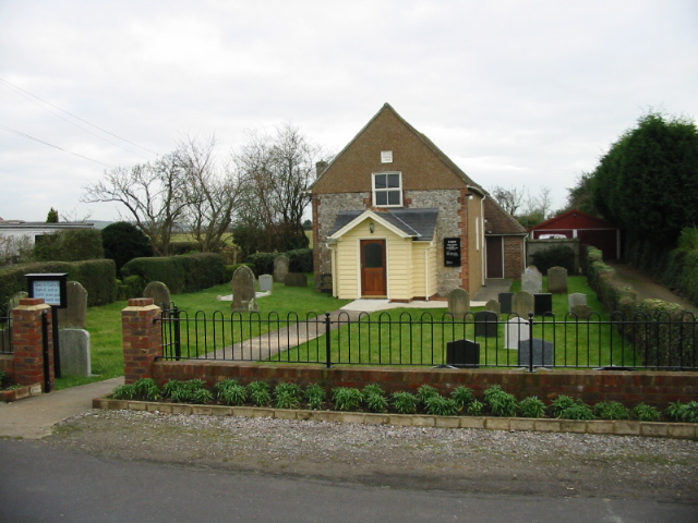
 Zion Strict Baptist Chapel | |
Brabourne Lees Location within Kent | |
| Area | 0.8628 km2 (0.3331 sq mi) |
| Population | 1,480 (2021 census) |
| • Density | 1,715/km2 (4,440/sq mi) |
| OS grid reference | TR085405 |
| Civil parish | |
| District | |
| Shire county | |
| Region | |
| Country | England |
| Sovereign state | United Kingdom |
| Post town | ASHFORD |
| Postcode district | TN25 |
| Dialling code | 01303 |
| Police | Kent |
| Fire | Kent |
| Ambulance | South East Coast |
| UK Parliament | |
| 51°7′26″N 0°58′20″E / 51.12389°N 0.97222°E | |

The village was built on former pasture land ("lees") at the foot of the North Downs. Brabourne Baptist Church is at the junction of Calland and Plain Road; there is also a Zion Strict Baptist Chapel to the northeast of the village, on Canterbury Road.
See also
- Smeeth - village immediately to the south
- Lilyvale, Kent - hamlet to the east
References
- ^ Ordnance Survey: Landranger map sheet 179 Canterbury & East Kent (Dover & Margate) (Map). Ordnance Survey. 2013. ISBN 9780319228784.
- ^ "Ordnance Survey: 1:50,000 Scale Gazetteer" (csv (download)). www.ordnancesurvey.co.uk. Ordnance Survey. 1 January 2016. Retrieved 30 January 2016.
- ^ "Brabourne Lees". City Population De. Retrieved 10 March 2023.
External links
Media related to Brabourne Lees at Wikimedia Commons