Desná (Kamenice)
Contributors to Wikimedia projects
 Article Images
You can help expand this article with text translated from the corresponding article in Czech. (November 2017) Click [show] for important translation instructions.
- Machine translation, like DeepL or Google Translate, is a useful starting point for translations, but translators must revise errors as necessary and confirm that the translation is accurate, rather than simply copy-pasting machine-translated text into the English Wikipedia.
- Do not translate text that appears unreliable or low-quality. If possible, verify the text with references provided in the foreign-language article.
- You must provide copyright attribution in the edit summary accompanying your translation by providing an interlanguage link to the source of your translation. A model attribution edit summary is
Content in this edit is translated from the existing Czech Wikipedia article at [[:cs:Desná (přítok Kamenice)]]; see its history for attribution. - You may also add the template
{{Translated|cs|Desná (přítok Kamenice)}}to the talk page. - For more guidance, see Wikipedia:Translation.
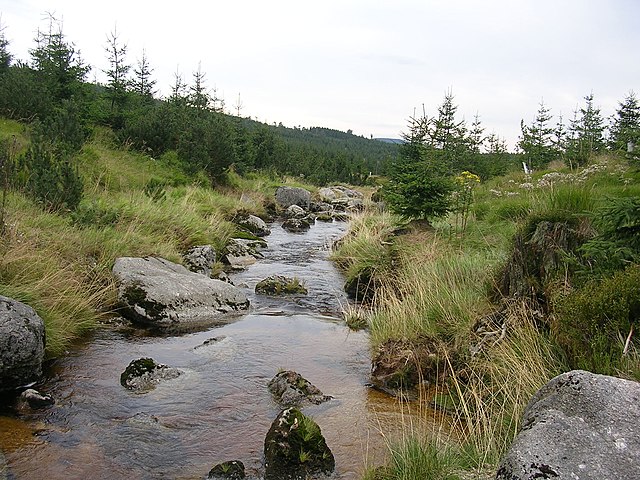
The Desná (Czech pronunciation: [ˈdɛsnaː]; German: Desse) is a short river in the Liberec Region of the Czech Republic. It is 2.3 km long and is a left tributary of the Kamenice, which it enters in Tanvald.
| Desná | |
|---|---|
 | |
| |
| Physical characteristics | |
| Length | 2.3 km (1.4 mi) |

It originates in the Jizera Mountains and has two tributaries, Bílá Desná and Černá Desná[1] (the "White Desná" and the "Black Desná").
Desná is a left tributary of the Kamenice River in the Jablonec nad Nisou District in the Liberec Region. The length of the stream is 2.3 km. The catchment area is 50.75 km2.
The river has an old Slavic name mentioned as early as 1577. The word desná was in Old Czech significance "right", in this case, the right tributary of another river - the former inhabitants proceeded normally up rivers from the lowlands to the mountains, and so all flows, considered today for the left hand, were from their perspective right hand and vice versa.
- ^ http://voda.chmi.cz/hr05/seznamy/hsp.pdf Archived 2013-10-05 at the Wayback Machine [bare URL PDF]