File:Congo Democratic Republic Map.jpg - Wikipedia
 Article Images

Original file (1,070 × 1,184 pixels, file size: 252 KB, MIME type: image/jpeg)
File history
Click on a date/time to view the file as it appeared at that time.
| Date/Time | Thumbnail | Dimensions | User | Comment | |
|---|---|---|---|---|---|
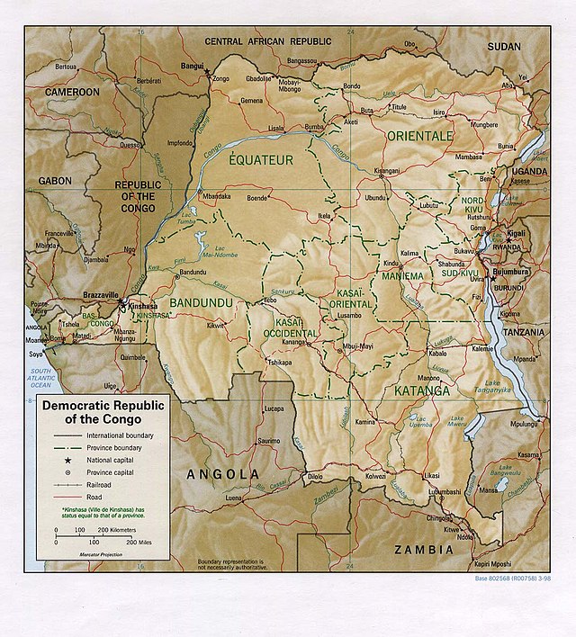
| current | 12:05, 21 February 2006 | | 1,070 × 1,184 (252 KB) | Lupo | Shaded relief map of the Democratic Republic of the Congo (the former Zaire). Source: [http://www.lib.utexas.edu/maps/africa/congo_demrep_rel98.jpg] from the [http://www.lib.utexas.edu/maps/zaire.html Perry-Castañeda Library Map Collection]. {{ |
File usage
The following 2 pages use this file:
Global file usage
This file contains additional information, probably added from the digital camera or scanner used to create or digitize it.
If the file has been modified from its original state, some details may not fully reflect the modified file.
| _error | 0 |
|---|