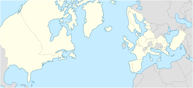
File:NATO Territory Map.svg - Wikipedia
 Article Images

Original file (SVG file, nominally 709 × 324 pixels, file size: 480 KB)
File history
Click on a date/time to view the file as it appeared at that time.
| Date/Time | Thumbnail | Dimensions | User | Comment | |
|---|---|---|---|---|---|
| current | 03:07, 9 March 2024 | | 709 × 324 (480 KB) | Woudsma | Uploaded own work with UploadWizard |
File usage
The following 26 pages use this file:
Global file usage
The following other wikis use this file:
- Usage on de.wikipedia.org
- Usage on tr.wikipedia.org
This file contains additional information, probably added from the digital camera or scanner used to create or digitize it.
If the file has been modified from its original state, some details may not fully reflect the modified file.
| Width | 709.19952 |
|---|---|
| Height | 324 |