File:Norfolk1880.PNG - Wikipedia
 Article Images

Original file (611 × 700 pixels, file size: 1.03 MB, MIME type: image/png)
File history
Click on a date/time to view the file as it appeared at that time.
| Date/Time | Thumbnail | Dimensions | User | Comment | |
|---|---|---|---|---|---|
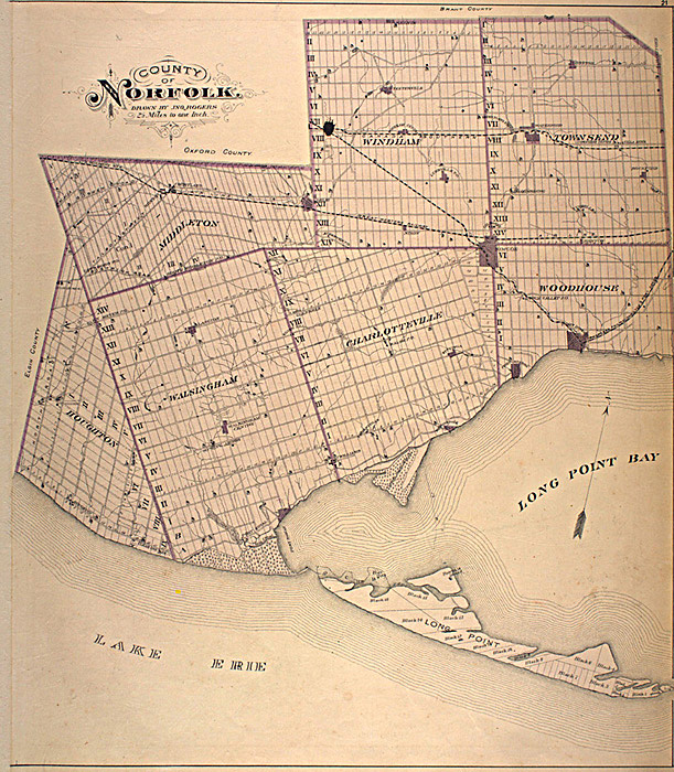
| current | 15:00, 13 March 2010 | | 611 × 700 (1.03 MB) | Fralambert | {{Information |Description={{en|This map is originally from the book: Illustrated historical atlas of the county of Norfolk, Ont. Toronto : H.R. Page & Co., 1877. The map was scanned from this book as part of the en:McGill University Canadian Count |
File usage
The following pages on the English Wikipedia use this file (pages on other projects are not listed):
Global file usage
The following other wikis use this file:
- Usage on es.wikipedia.org
- Usage on fr.wikipedia.org
- Usage on uk.wikipedia.org
This file contains additional information, probably added from the digital camera or scanner used to create or digitize it.
If the file has been modified from its original state, some details may not fully reflect the modified file.
| PNG file comment |
|
|---|