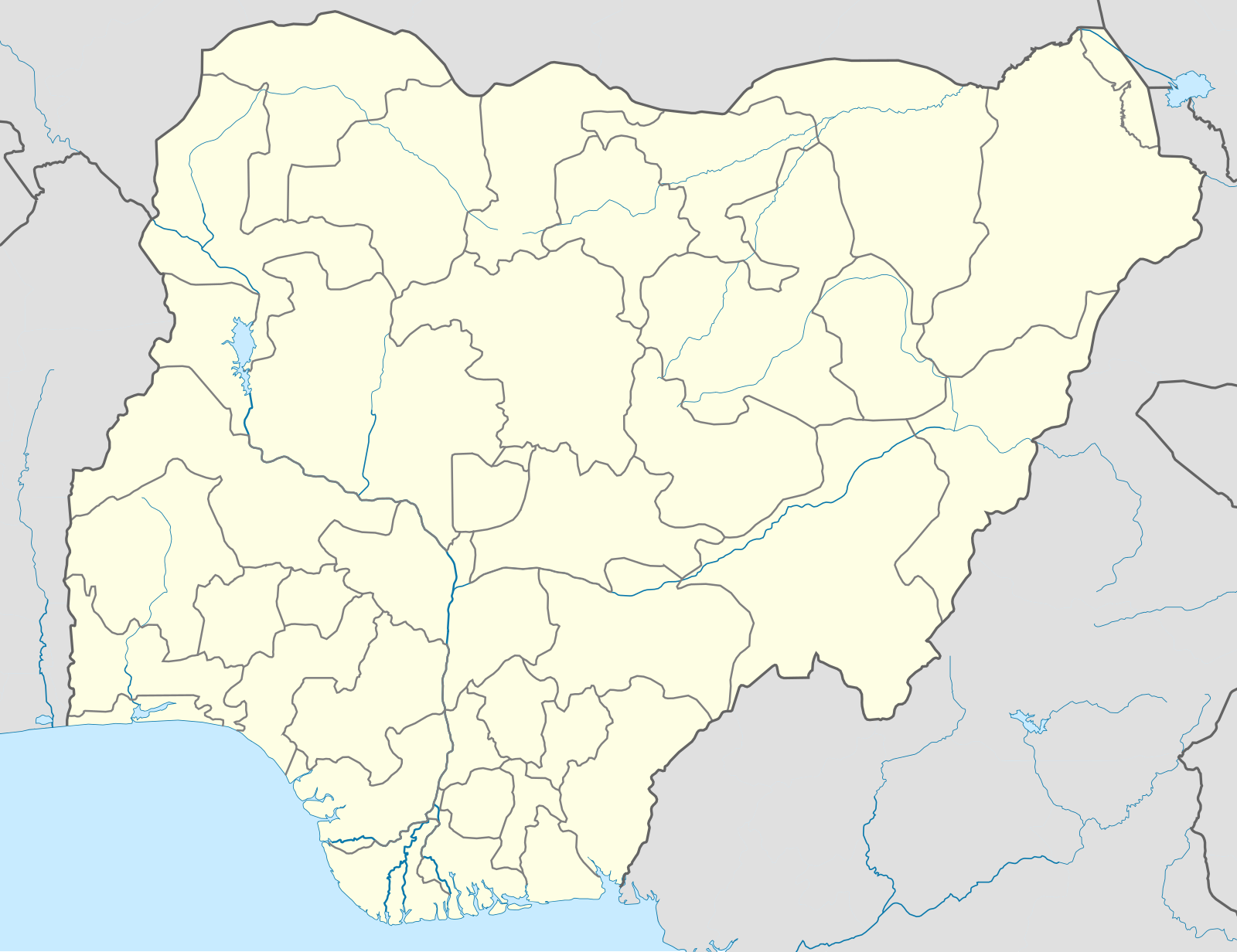
Template:Nigerian insurgency detailed map - Wikipedia
Hold cursor over location to display name; click to go to location row in the "table of cities and towns" (if available).
 Under the control of the Nigerian government
 Under the control of the Movement for the Emancipation of the Niger Delta
 Under the control of the Islamic State's West Africa Province
 Under the control of the Indigenous People of Biafra
 Under the control of Bello Turji
 Under the control of Dogo Gide
Contested
 Nigerian government–Movement for the Emancipation of the Niger Delta
 Nigerian government–Islamic State's West Africa Province
 Islamic State of Iraq and the Levant–Movement for the Emancipation of the Niger Delta
Mixed Control (Stable situation)
![]()
![]()
![]()
![]()
Other
 Military base
 Airport/Air base (jet)
 Airport/Air base (helicopter)
 Major port or naval base
 Border Post
 Dam
Dam Industrial complex
Rural presence
 Presence of Nigerian government
 Presence of Movement for the Emancipation of the Niger Delta
 Presence of the Islamic State of Iraq and the Levant
2 nested circles: inner controls, outer sieges // 3 nested circles: mixed control with stable situation // Small icons within large circle: situation in individual neighborhoods/districts
| This template may have no transclusions, because it is substituted by a tool or script, it is used as part of a short-term or less active Wikipedia process, or for some other reason. |
| This template uses Lua: |
Transclude this template by using {{Nigerian insurgency detailed map}}. No parameters should be provided.
How war map template work with other parts of Wikipedia

The above documentation is transcluded from Template:Nigerian insurgency detailed map/doc. (edit | history)
Editors can experiment in this template's sandbox (create | mirror) and testcases (create) pages.
Add categories to the /doc subpage. Subpages of this template.
