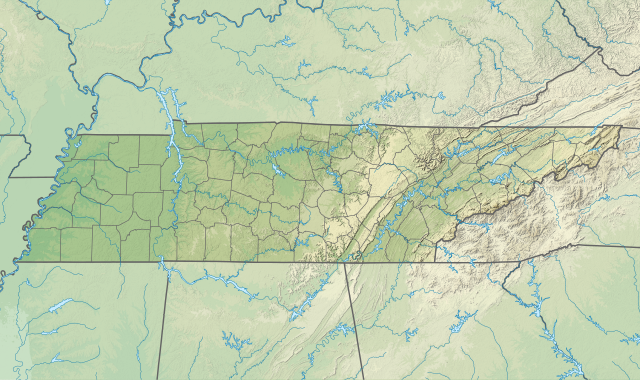
File:USA Tennessee relief location map.svg - Simple English Wikipedia, the free encyclopedia
 Article Images

Original file (SVG file, nominally 1,800 × 1,068 pixels, file size: 4.1 MB)
File history
Click on a date/time to view the file as it appeared at that time.
| Date/Time | Thumbnail | Dimensions | User | Comment | |
|---|---|---|---|---|---|
| current | 03:39, 4 February 2021 | | 1,800 × 1,068 (4.1 MB) | SANtosito | Uploaded own work with UploadWizard |
File usage
The following 11 pages use this file:
Global file usage
This file contains additional information, probably added from the digital camera or scanner used to create or digitize it.
If the file has been modified from its original state, some details may not fully reflect the modified file.
| Width | 1800.1248 |
|---|---|
| Height | 1068.276 |