Burrard Inlet: Difference between revisions - Wikipedia
 Article Images
Content deleted Content added
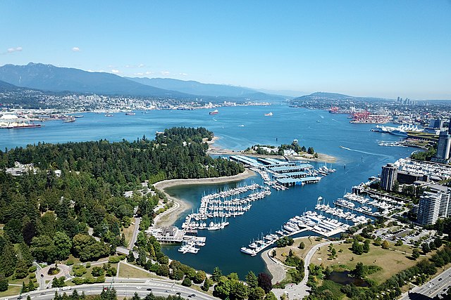
Line 30: == Geography == [[Image:BurrardInletIndianArm.jpg|right|250px|thumb|[[Indian Arm]] extends north (to the upper right of the photo) from Burrard Inlet, in this view from the southeast at Burnaby Mountain.]] The inlet runs almost directly east from the [[Strait of Georgia]] to [[Port Moody]] and is urbanized on most of its shores. About two-thirds of the way east from the sea, a secondary, much steeper-sided glacial fjord, [[Indian Arm]], extends straight north from the main inlet, between [[Belcarra, British Columbia|Belcarra]] and [[Deep Cove]] in North Vancouver, then on into mountainous wilderness. (Indian River, a small dock at the north end of the arm, can be reached by a washed out logging road from [[Squamish, British Columbia|Squamish]].) From Point Atkinson and Point Grey on the west to Port Moody in the east, the inlet is about 25 km (16 mi) long; Indian Arm extends about 20 km (12 mi) north. Settlements on the shores of Burrard Inlet include Vancouver, West Vancouver, North Vancouver, [[Burnaby]], and Port Moody. Three bridges, the First Narrows Bridge (aka [[Lions' Gate Bridge]]) (built in the 1930s), the [[Ironworkers Memorial Second Narrows Crossing]] (1960) and the [[Second Narrows Bridge|CNR railway bridge]] (1969) at the Second Narrows, and the [[SeaBus]] passenger ferry, cross the inlet. It is widest (about 3 km) between the First and Second Narrows, also the busiest part of Vancouver's [[Port of Vancouver|port]]. | |||