File:Ceredigion UK location map.svg - Wikipedia
 Article Images

Original file (SVG file, nominally 1,425 × 1,192 pixels, file size: 799 KB)
File history
Click on a date/time to view the file as it appeared at that time.
| Date/Time | Thumbnail | Dimensions | User | Comment | |
|---|---|---|---|---|---|
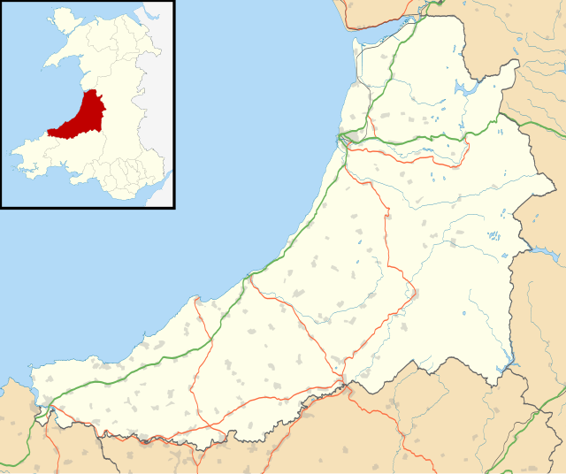
| current | 19:31, 26 September 2010 | | 1,425 × 1,192 (799 KB) | Nilfanion | {{Information |Description=Blank map of Ceredigion, UK with the following information shown: *Administrative borders *Coastline, lakes and rivers *Roads and railways *Urban areas Equirectangular map projection on WGS 84 datum, with N/S s |
File usage
More than 100 pages use this file. The following list shows the first 100 pages that use this file only. A full list is available.
- Aberaeron
- Abermagwr
- Aberporth
- Aberystwyth
- Aberystwyth Arts Centre
- Adpar
- Alltyblacca
- Betws Ifan
- Beulah, Ceredigion
- Blaenplwyf transmitting station
- Blaenrheidol
- Bont Goch
- Bontnewydd, Ceredigion
- Borth
- Bow Street, Ceredigion
- Bow Street railway station
- Bremia (fort)
- Capel Dewi, Faenor
- Capel Dewi, Llandysul
- Cardigan, Ceredigion
- Cardigan and District Community Hospital
- Ceredigion
- Ceredigion Museum
- Chancery, Ceredigion
- Ciliau Aeron
- Comins Coch
- Cribyn
- Cwmystwyth
- Daren
- Devil's Bridge, Ceredigion
- Faenor, Ceredigion
- Furnace, Ceredigion
- Gilfachrheda
- Glandyfi
- Glynarthen
- Gorsgoch
- Gwbert
- Hafod Uchtryd
- Harbourmaster Hotel
- Internal Fire Museum of Power
- Lampeter
- List of Roman-to-modern scheduled monuments in Ceredigion
- List of Sites of Special Scientific Interest in Ceredigion
- List of monastic houses in Wales
- List of prehistoric scheduled monuments in Ceredigion
- Llanarth, Ceredigion
- Llanbadarn Fawr, Ceredigion
- Llanddewi Brefi
- Llandre
- Llandyfriog transmitting station
- Llandygwydd
- Llandysul
- Llanfair Clydogau
- Llanfarian
- Llanfihangel y Creuddyn
- Llangeitho
- Llangoedmor
- Llangorwen
- Llangrannog
- Llangwyryfon
- Llangybi, Ceredigion
- Llangynfelyn
- Llanon
- Llechryd
- Lledrod
- Mwnt
- Nantcwnlle
- New Quay
- Parc-llyn
- Pen-y-garn, Ceredigion
- Penbryn
- Penparcau
- Penrhyn-coch
- Penuwch
- Pont-rhyd-y-groes
- Pontrhydfendigaid
- Pontsiân
- Rhydlewis
- Rhydowen
- Rhydypennau, Ceredigion
- Sarn Gynfelyn
- Silian, Ceredigion
- Soar y mynydd
- St Michael's Church, Tremain
- Swyddffynnon
- Taigwynion
- Tal-y-bont, Ceredigion
- Talgarreg
- Trawscoed fort
- Trawsgoed
- Tre-Taliesin
- Tregaron
- Tregaron Hospital
- Troed y Rhiw
- Wallog
- Y Ferwig
- Ynyslas
- Ysbyty Ystwyth
- Ystrad Meurig
- User:Piggery Poke/sandbox
View more links to this file.
Global file usage
This file contains additional information, probably added from the digital camera or scanner used to create or digitize it.
If the file has been modified from its original state, some details may not fully reflect the modified file.
| Width | 1425 |
|---|---|
| Height | 1192 |