 Article Images

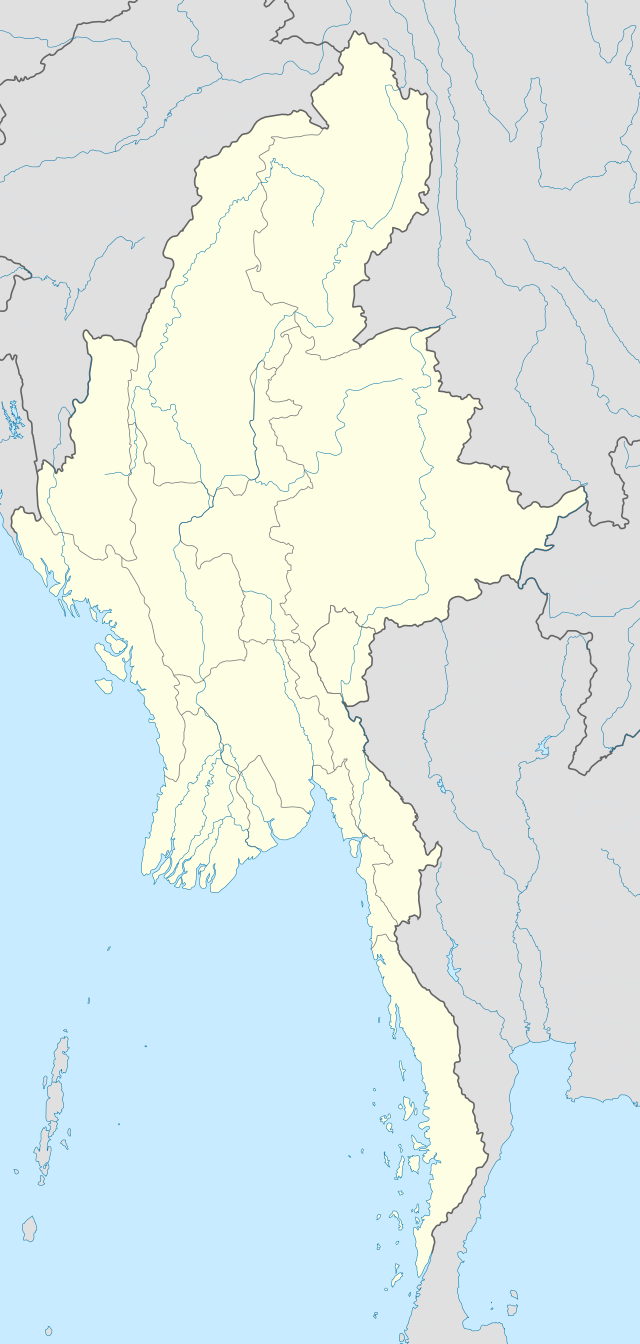
Original file (SVG file, nominally 1,200 × 2,520 pixels, file size: 633 KB)
File history
Click on a date/time to view the file as it appeared at that time.
| Date/Time | Thumbnail | Dimensions | User | Comment | |
|---|---|---|---|---|---|
| current | 16:08, 29 September 2011 | | 1,200 × 2,520 (633 KB) | NordNordWest | corr, see disk |
| 17:45, 18 February 2010 |  | 1,200 × 2,520 (968 KB) | Uwe Dedering | no disputed countries | |
| 13:03, 18 February 2010 |  | 1,200 × 2,520 (974 KB) | Uwe Dedering | {{Information |Description={{en|1=Location map of Myanmar. Equirectangular projection. Strechted by 105.0%. Geographic limits of the map: * N: 29.0° N * S: 9.0° N * W: 92.0° E * E: 102.0° E Made with Natural Earth. Free vector and raster map dat |
File usage
More than 100 pages use this file. The following list shows the first 100 pages that use this file only. A full list is available.
View more links to this file.