File:Pakistan-Sindh-location-map.svg - Wikipedia
 Article Images
Click on a date/time to view the file as it appeared at that time.
| Date/Time | Thumbnail | Dimensions | User | Comment | |
|---|---|---|---|---|---|
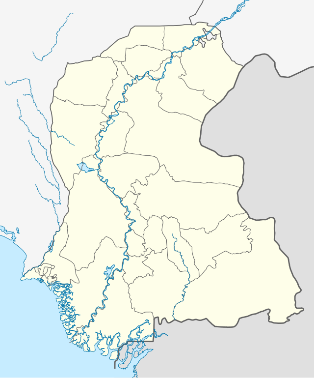
| current | 16:30, 8 September 2021 |  | 858 × 1,030 (585 KB) | C1MM | Added Karachi districts |
| 05:46, 6 September 2021 |  | 858 × 1,030 (584 KB) | C1MM | Added better boundaries and rivers | |
| 21:59, 18 April 2020 |  | 1,000 × 1,200 (610 KB) | C1MM | Standardized colors and added borders | |
| 14:25, 8 May 2019 |  | 1,080 × 1,280 (300 KB) | Kaleem Bhatti | ||
| 14:16, 8 May 2019 |  | 1,080 × 1,280 (301 KB) | Kaleem Bhatti | Outline fixed | |
| 16:13, 7 May 2019 |  | 1,080 × 1,280 (300 KB) | Kaleem Bhatti | User created page with UploadWizard |
This file contains additional information, probably added from the digital camera or scanner used to create or digitize it.
If the file has been modified from its original state, some details may not fully reflect the modified file.
| Width | 242.07625mm |
|---|---|
| Height | 290.6123mm |