Minas de Matahambre
Contributors to Wikimedia projects
 Article Images
Minas de Matahambre (Spanish pronunciation: [minas ðe mataˈambɾe]) is a municipality and town in the Pinar del Río Province of Cuba. It was declared a National Monument of Cuba.[3]
Minas de Matahambre | |
|---|---|
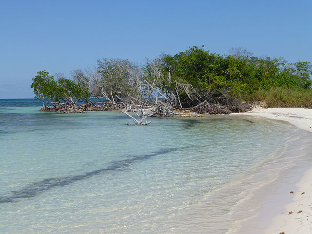
.jpg) Cayo Jutías, part of the municipality and of the Colorados Archipelago | |
.png) Minas de Matahambre municipality (red) within | |
| Coordinates: 22°34′56″N 83°56′57″W / 22.58222°N 83.94917°W | |
| Country | Cuba |
| Province | Pinar del Río |
| Area | |
| • Total | 858 km2 (331 sq mi) |
| Elevation | 115 m (377 ft) |
| Population (2022)[2] | |
| • Total | 30,946 |
| • Density | 36/km2 (93/sq mi) |
| Time zone | UTC-5 (EST) |
| Area code | +53-82 |
The municipality faces the Gulf of Mexico to the north, where the cays of the Colorados Archipelago are developed off-shore. It is bordered by the municipalities of Mantua, Guane, San Juan y Martínez and Viñales.
The municipality includes the villages of Baja, Cabezas, Pons, La Sabana, Río del Medio, Santa Lucía, Sitio Morales and Sumidero.
In 2022, the municipality of Minas de Matahambre had a population of 30,946.[2] With a total area of 858 km2 (331 sq mi),[1] it has a population density of 36/km2 (93/sq mi).
The Minas de Matahambre Municipal Museum holds objects and photography collections of local history.
- ^ a b Statoids (July 2003). "Municipios of Cuba". Retrieved 2007-10-07.
- ^ a b "Cuba: Administrative Division (Provinces and Municipalities) - Population Statistics, Charts and Map". www.citypopulation.de. Retrieved 2024-02-03.
- ^ National Council for Cultural Heritage. "National Monuments in Cuba" (in Spanish). Archived from the original on 2007-12-11. Retrieved 2007-10-09.
Media related to Minas de Matahambre at Wikimedia Commons