Yamato Glacier
Contributors to Wikimedia projects
 Article Images
The Yamato Glacier (71°25′S 35°35′E / 71.417°S 35.583°E) is a glacier about 6 miles (10 km) wide, flowing west between Mount Fukushima and Mount Eyskens in the Queen Fabiola Mountains of Antarctica.
| Yamato Glacier | |
|---|---|
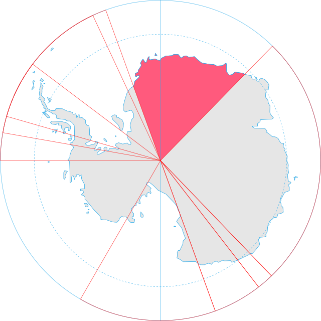
.svg) Location of Queen Maud Land in Antarctica | |
Location of Yamato Glacier in Antarctica | |
| Location | Queen Maud Land |
| Coordinates | 71°25′S 35°35′E / 71.417°S 35.583°E |
| Length | 6 nmi (11 km; 7 mi) |
| Thickness | unknown |
| Terminus | Queen Fabiola Mountains |
| Status | unknown |

Discovered by the Belgian Antarctic Expedition under Guido Derom, October 7, 1960, and named after an old name of the cove of Honshū. Yamato is the symbol of the political unity and the national consciousness of the Japanese people. In November–December 1960, a Japanese field party reached this area and carried out geodetic and other scientific work.
See also
References
- This article incorporates public domain material from "Yamato Glacier". Geographic Names Information System. United States Geological Survey.
This article about a glacier in Queen Maud Land is a stub. You can help Wikipedia by expanding it. |